Eritrea has 2 power plants in this atlas, with 133 MW of reported capacity. The largest listed plant is Massawa (100 MW, oil; current status unverified). By number of records the most common technologies are oil. Grid operators listed here include Eritrean Electricity Corporation. Renewables supplied 11.1% of its electricity in 2024.
Reported capacity is the rated size of the listed installations, not electricity being produced now. Source dates and coverage differ, so newer facilities may be absent and historical records may remain.
Grid operators and electricity market in Eritrea
Vertically integrated utilityOne utility does everything
Oil-fired plants supply most power.
GenerationState utility
TransmissionState utility
DistributionState utility
CustomersGovernment-set tariffs
Who regulates
No separate independent regulator is listed: the government or the utility itself sets tariffs and technical rules.
Who controls the grid
State-owned Eritrean Electric Corporation runs the grid.
No power exchange: the utility produces or buys electricity and sells it at set tariffs.
Regional grid
Not part of a larger synchronous grid or regional power pool.
What does “Vertically integrated utility” mean?
A single, usually state-owned utility generates, transmits and distributes electricity. Prices are set or approved by the government or a regulator rather than by a market.
The African Development Bank’s project appraisal identifies EEC as the generation, transmission and distribution utility. A direct utility website has not yet been verified; the main link is a government reference.
References reviewed 2026-09-29. Logos are each organisation’s own site icon, shown to identify it. Selected organisations, not an exhaustive list of licence holders.
Eritrea is in Eastern Africa. Its coastal or island geography provides a different setting for electricity infrastructure from inland systems. This profile connects country reference information with the historical station inventory and reported electricity generation.
Capital
Asmara
Languages
Arabic, English, Tigrinya
Region
Eastern Africa
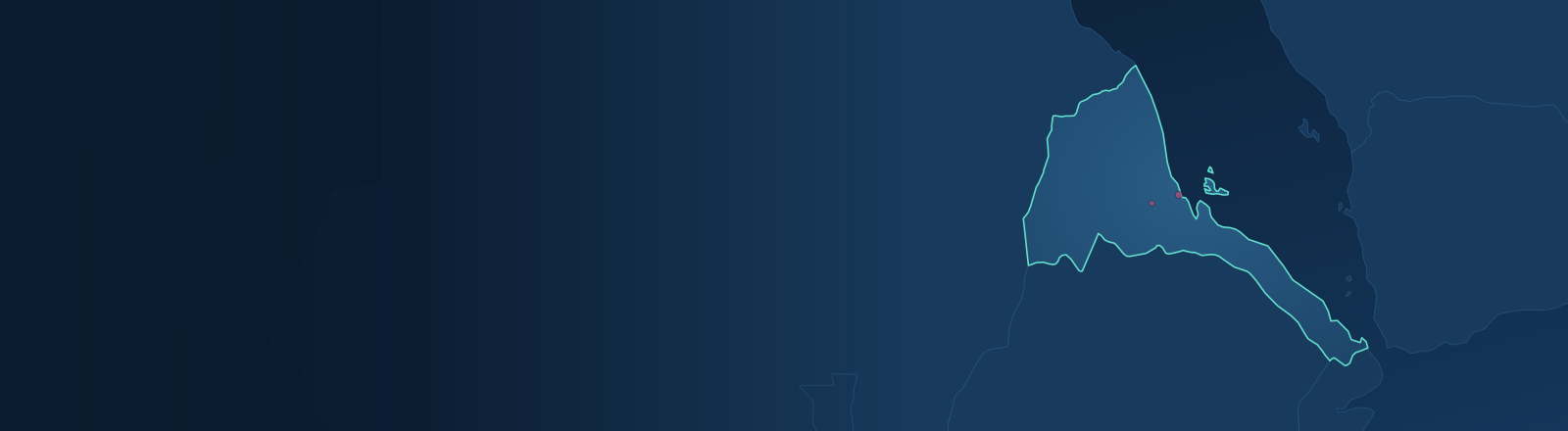
Geographic reference: Countries geographic database (ODbL). Boundaries and names are for orientation; language listings are introductory, not exhaustive. Banner map: Natural Earth boundaries (public domain) with this atlas’s station records.
The source inventory contains 2 records for Eritrea. Select a fuel in the map to explore where its stations are located, then open a record to inspect reported capacity and provenance.
Inventory coverage
2 source records. 0 reported operational in their source snapshot; this is not live status.
Browse 2 source records, ordered by reported capacity. Ownership and operating status describe the source snapshot; they may have changed. Missing information is shown explicitly.